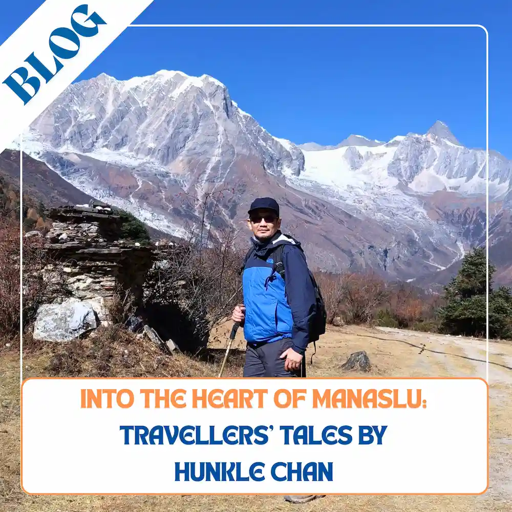
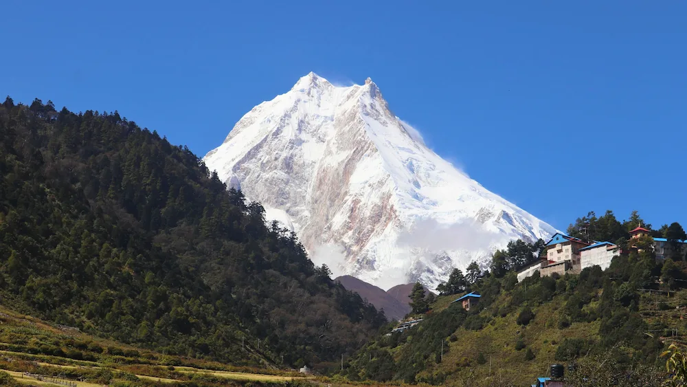
Standing at 8,163, Manaslu is the 8th highest mountain in the world. It lies between Ganesh Himal in the east and Annapurna in the west. Often mistaken for “fishtail” or Machapuchare, Manaslu’s summit appears like a tent with two horns. While the mountain can be approached from several directions, the most common trek here is the Manaslu circuit trek which goes 177km around Manaslu, crossing the 5100m Larkya La into the Annapurna region. For comparison, the standard Everest trek is only about 130km. This makes the trek equally if not more challenging.
Day 1: Drive from Kathmandu to Macha Khola
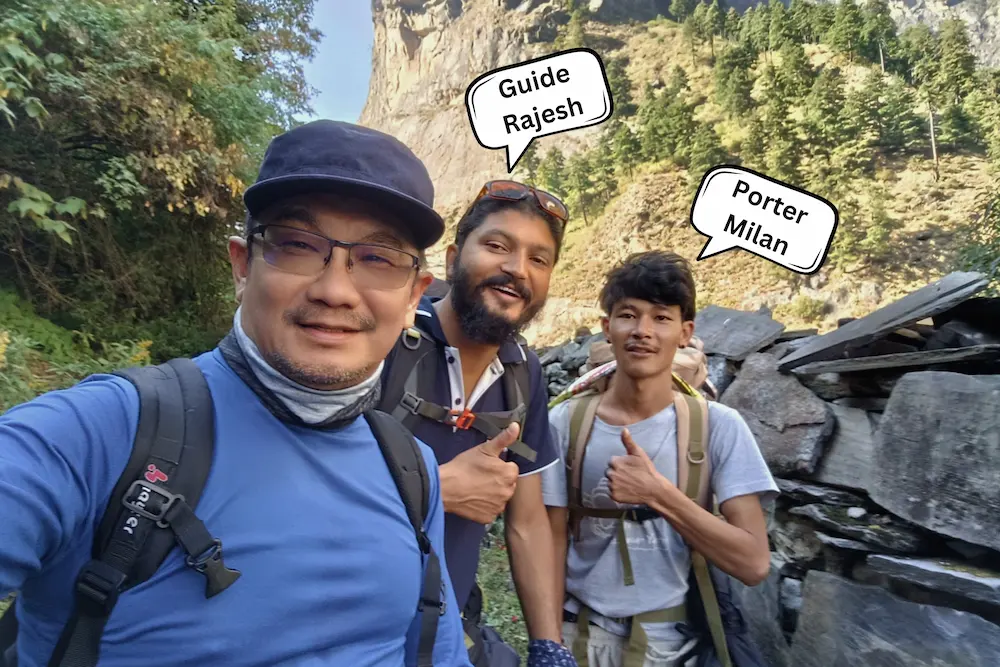
I started this trek on 5th November 2024. The first day was nothing more than a long scenic jeep ride to the starting point of the trek, Macha Khola, a riverside settlement built into the sloping side of the mountain and with the Budhi Gandaki River roaring beneath. My guide Rajesh was new to me even though I had used the same company for over 20 years. He was exceptionally tall; my only Nepali guide was taller than me. Stoic and unassuming, his approach was rather “informal”. He was more into logistics and getting it over and done with rather than the trek details.
Day 2: Trek from Macha Khola to Jagat
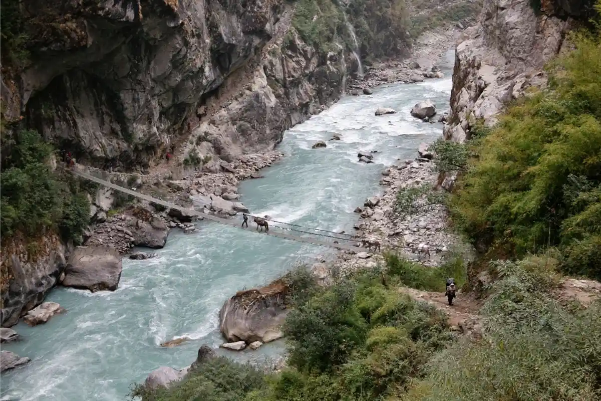
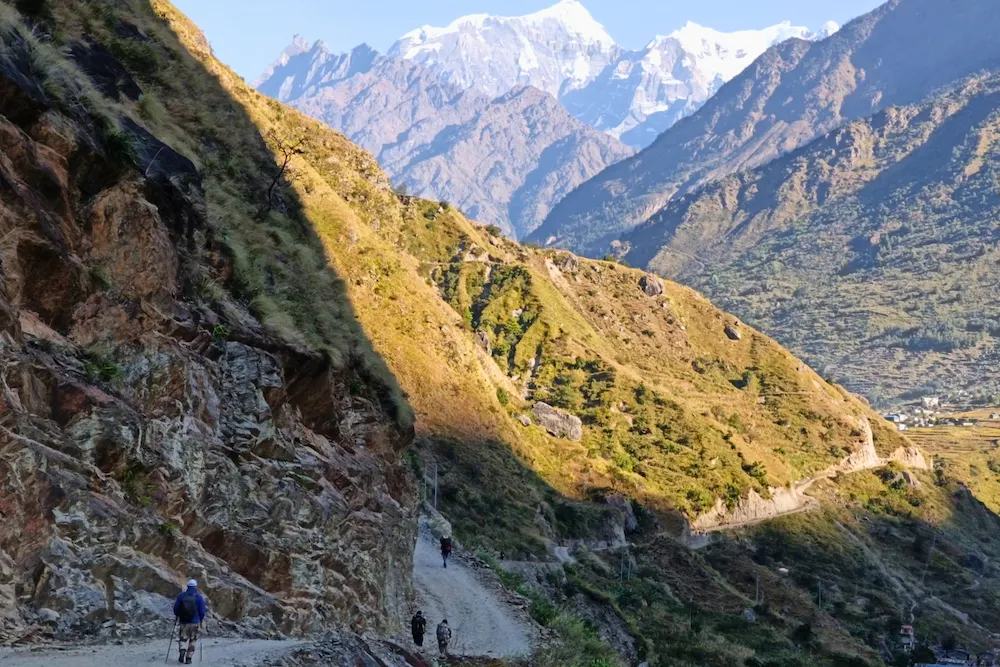
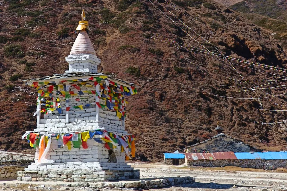
The first day of the hike (Day 2) brought us on a rocky jeep track with showers and curtains of water falling from the wounded rockface. Road construction with obvious Chinese involvement was progressing in earnest. Meanwhile, the original trail was somewhat blocked or damaged by landslides. We trekked on the bare, sunny west bank of the river. Across the surging waters, the shady side was still luxuriantly green. We were still in the forest zone. Jagat 1340m, a small settlement sitting on an embankment above the river like a philosopher contemplating the unstoppable passage of time came into view in the early afternoon.
Day 3: Trek from Jagat to Deng
The second day on foot (Day 3) was considerably harder. The Manaslu region is sparsely populated, unlike the Annapurna and Everest region, which has far apart settlements. Jagat to Deng was difficult mainly because of the distance. From Deng, the trail didn’t get any easier. We crossed a surging river before making the way up to the administrative center of Philum, then it was a long and winding path going up and down as if the mountain was teasing us. The sun was already setting when I was settled in. It was a long day. Sadly, there was not much elevation gain. Deng is situated at 1800m and there was still no sign of Manaslu.
Day 4: Trek from Deng to Namrung
It’s another tough day, the same story for the lower part of the Manaslu trek. It was a tough final climb to Namrung, a thoughtfully built settlement with bright and beautiful Tibetan architecture and somewhat modern interiors – including a very tastefully renovated bar. With Namrung sitting at 2400m, we had finally crossed the 2000m mark. Unfortunately, this was the last of such comfortable accommodations on the trip.
Day 5: Trek from Namrung to Shyala
No more super long days until the crossing of the Larkya La. It’s supposed to be a short trek to Lho. Rajesh suggested that we move further on to Shyala 3500m. It was an excellent suggestion. We had lunch at Lho and pushed further ahead to Shyala, still managing to reach there before the sun started sinking behind the Himalayan screen. Rajesh turned out to have made an excellent suggestion.
Day 6: Trek from Shyala to Samagaon
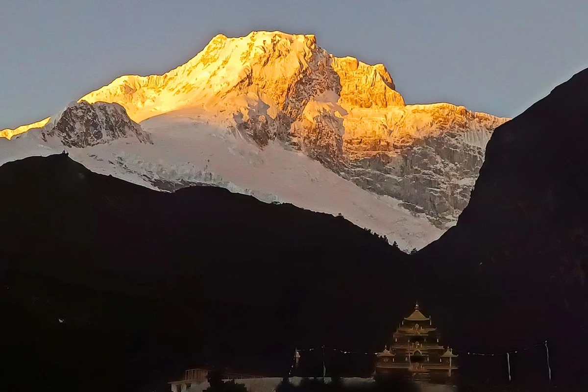
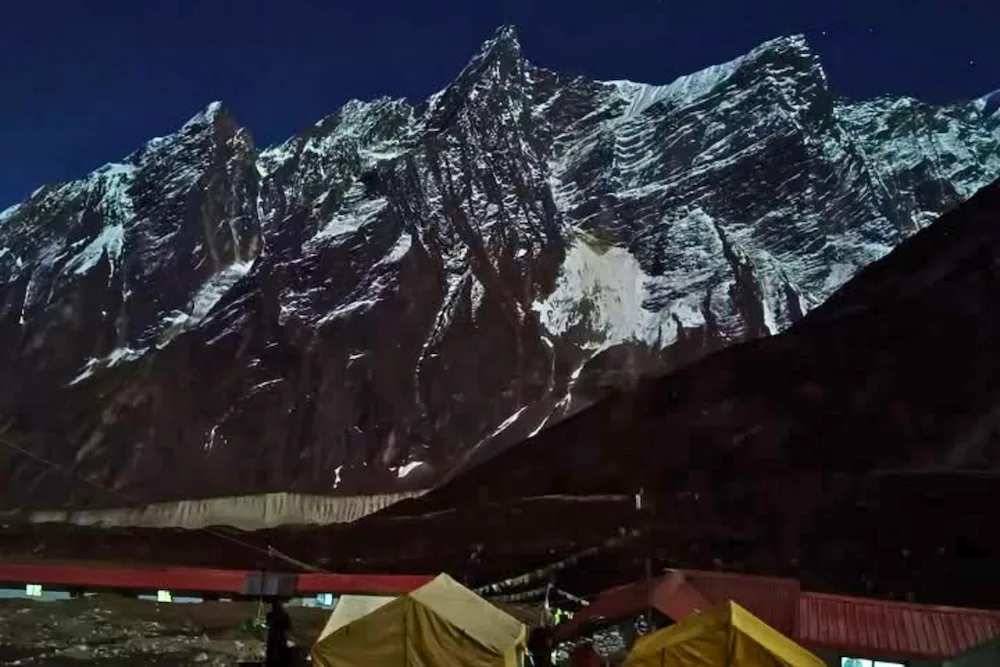
Dawn at Shyala was a magical moment. The peaks turned into golden tips over a sea of white and grey. Our original plan was to head up to Punggen Gompa and then descend to Samagaon 3530m – a trip which would have been just as long as those lower down. I decided not to do that. We went on a pretty short trek to Samagaon for rest and acclimatization. Samagaon is another enchanting place, a meadow situated close to the tree line. The settlement is beautifully stretched before Naike Peak and the north col of Manaslu.
Day 7: Acclimatization Hike to Punggen Gompa
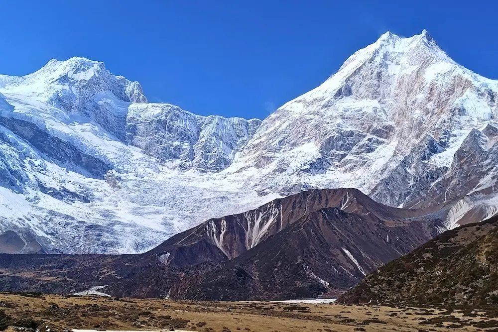
It was a beautiful day with morning mists on the streets and clear skies above. We went on the trek up to Punggen Gompa. It wasn’t very easy, but it was the most rewarding. The Manaslu trek is often touted as one of the most spectacular treks in Nepal. This has to be the day when it all happens. Punggen Gompa sits on an alpine meadow 4000m above sea level. The elevated ground is flat but the Himalayan giants rise steeply in the background. It gives the feeling of being enclosed by the gods themselves. This has to be the most beautiful sight on the whole trek.
Highlights of Puggen Gompa Hike
Day 8: Hike from Samagaon to Birendra Tal
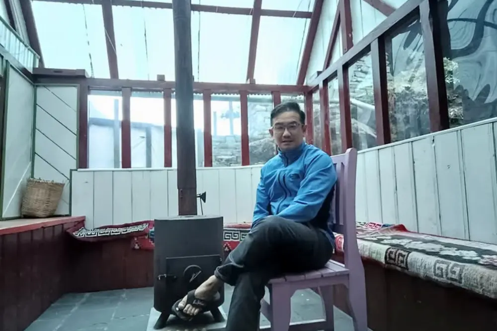
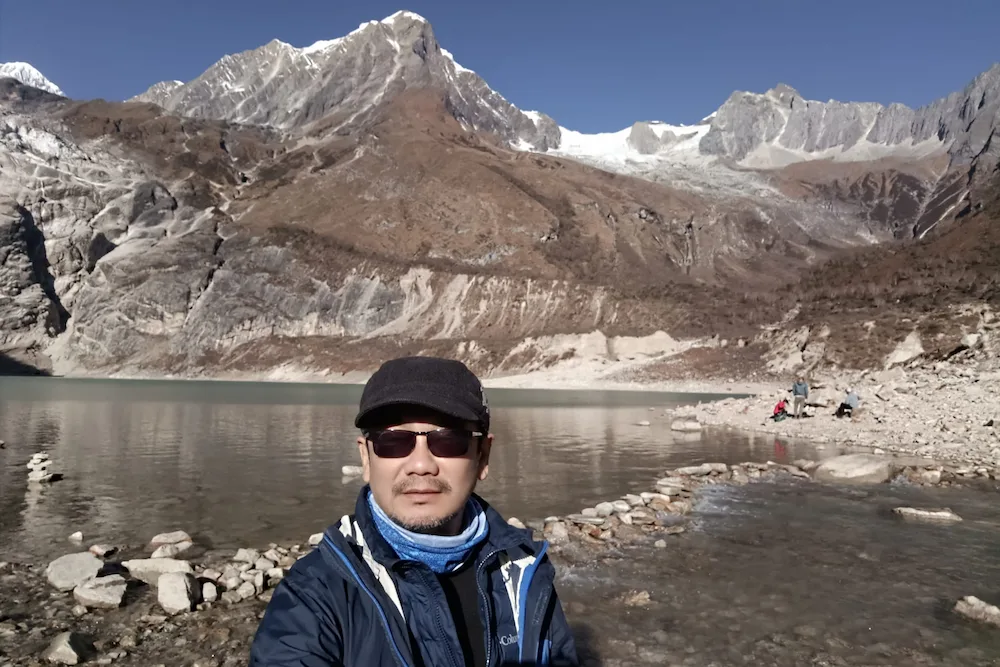
The original plan was to go to two sites- Birendra Tal and Manaslu base camp. It would have been another very long day, but it ended after Birendra Tal, a beautiful glacial lake just south of Manaslu. To ascend to Manaslu base camp would have taken all day and Rajesh didn’t seem keen at all. Without the encouragement, I felt it would be best not to attempt. I had a long afternoon in my room with plenty of time to read and take a hot shower. Lost some, and gained some.
Day 9: Trek from Samagaon to Larkya Bazar
It was time to leave Samagaon for the next settlement, Samdo but Rajesh had a better idea. We would find our accommodations at Larkya Bazaar 3920m. It turned out to be another excellent idea. The lodge there was quiet and considerably well-appointed, given the circumstances. We were way past the treeline now. All around us, were shrubs, bushes, and rocks; mostly rocks. There would be one acclimatization day here followed by another side trip. Or rather what I thought would be just another side trip.
Day 10: Acclimatization at Larkya Bazar
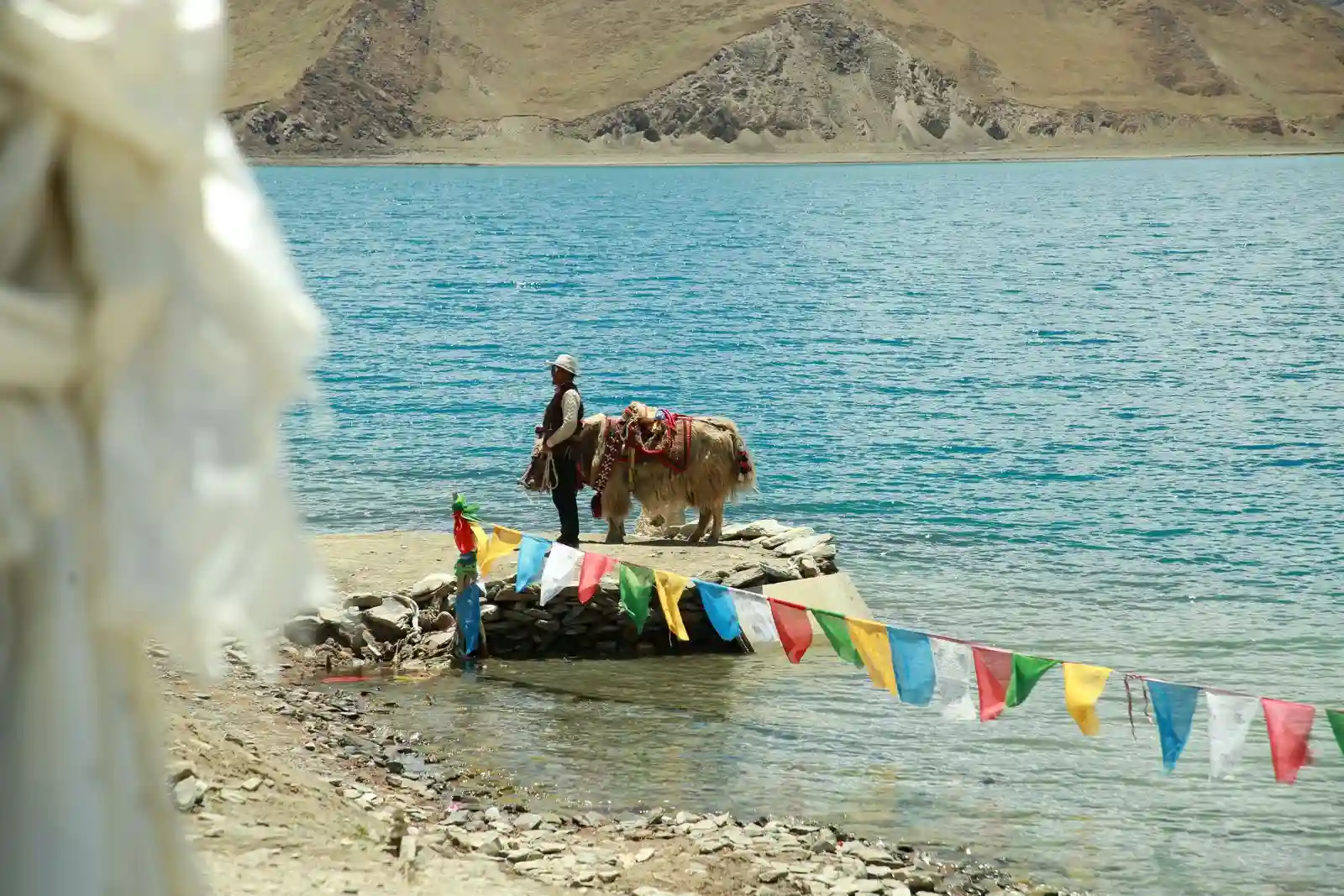
As mentioned in the video, this part of the Manaslu region runs along the Tibetan border. For centuries, landlocked Nepal had been importing salt from Tibet as no roads connected to India. It was more convenient for yak caravans to cross passes and bring salt into Nepal. Villages like Samdo and Namrung used to be the customs and trading posts for Tibetan and Nepali traders. As the crow flies, Larkya Bazaar is less than 4km from the border. Getting involves an 8km trek which is described in my video.
Day 11: Trek from Larkya Bazaar to Dharmasala
Feeling a little disappointed with my failure to reach the Chinese border, I left Larkya Bazaar for Dharamsala. It wasn’t a particularly difficult walk, but at 4000m, breathing through a neck scarf can be very challenging. Without covering your nose, you would be breathing cold, dry air which invariably damages blood vessels in your nostrils. Within days, you will be blowing out blood clots and thick mucus. I cover my nose to prevent this, but the downside is, that breathing requires a lot of exertion, and your physical performance is affected.
Dharamsala is like Lobuche 20 years ago. There were frozen streams that briefly thawed for the afternoon but quickly froze again when the sunset. Accommodations were very basic with the shared toilet some distance from the dormitories and food was prepared under the most stressful conditions. Everyone was eager to get out.
Day 12: Trek from Dharmasala to Bimthang
The highlight of the whole trip. We got up at 3.00 am, I hastily took my breakfast after a long wait for it in a dimly lit and crowded dining hall, then set off at 4.00 am. When the sun rose, we found ourselves trekking in the narrow paths with snow everywhere. Amazingly, there was a cafe in the middle of nowhere. It was an otherworldly picture, with snow, ice rock, and a clear blue sky – beautifully simple and unearthly.
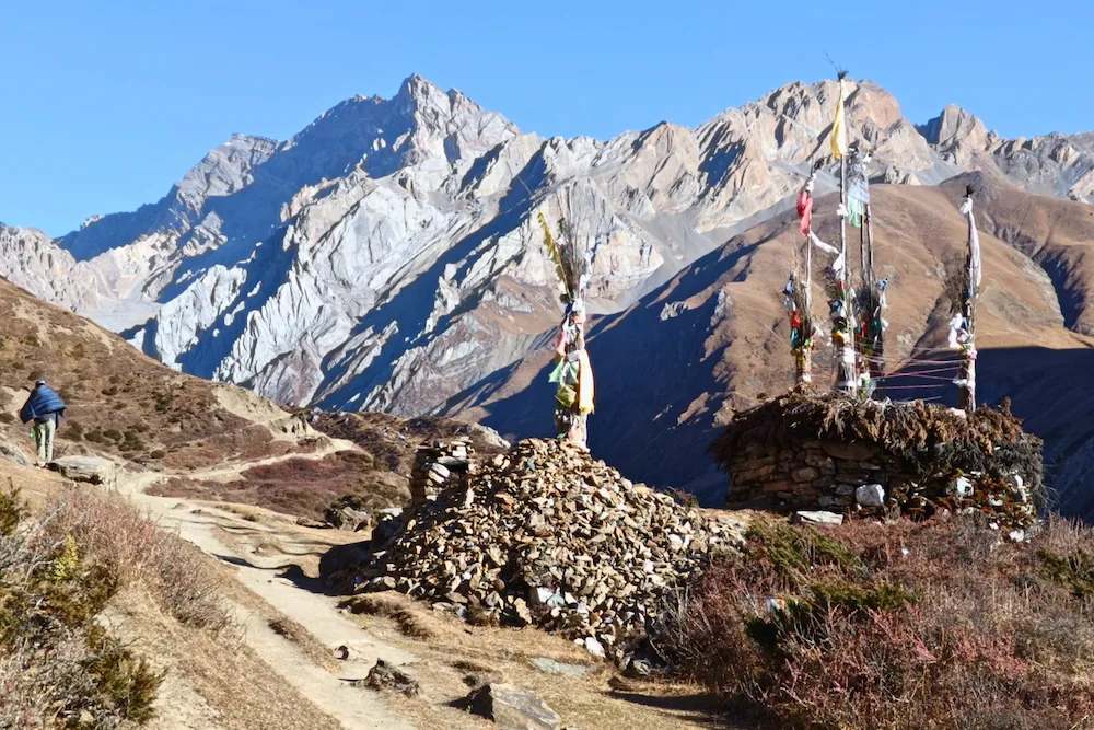
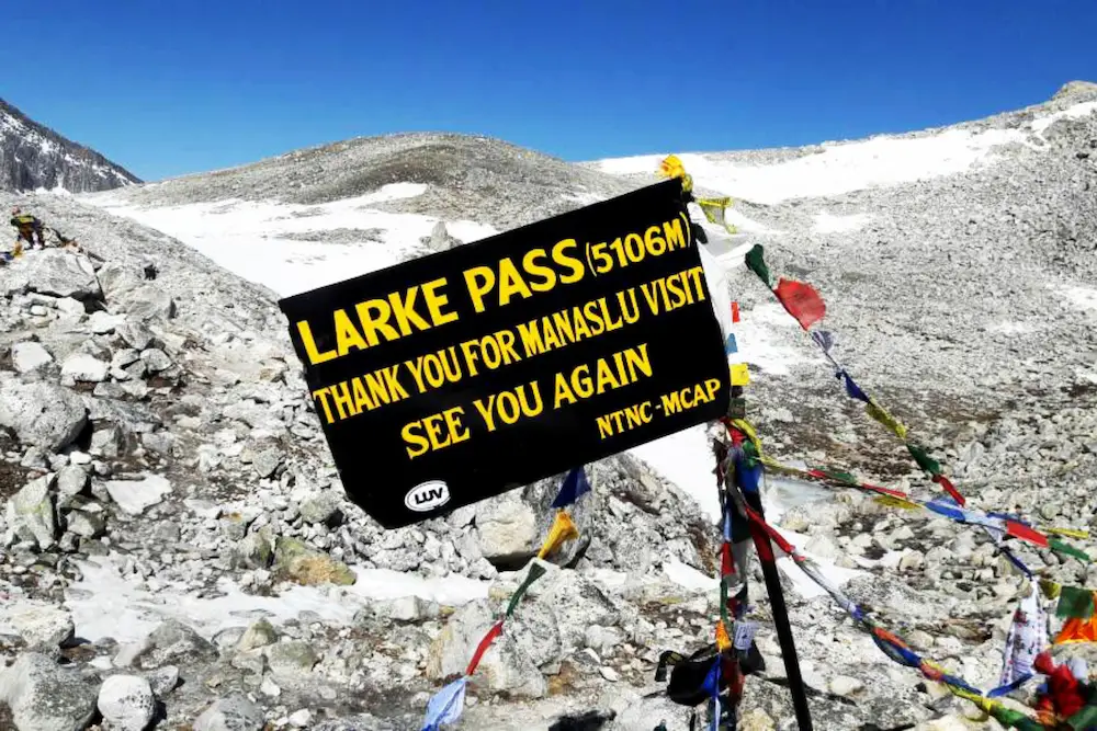
I struggled to the 5100m Larkya La, the highest point on the trek, indicated by a signboard and with the surrounding festooned with fluttering prayer flags. There was also a huge crowd here. There were far more people up here than on any of the three passes on the Three Passes trek two years ago. Presently, a strong threatened to sweep across the pass. We prudently decided to make a quick descent which wasn’t as simple as it might sound. We had to ascend 600m and descend 1500m. An amphitheater of peaks would greet you as you descend to a relatively flat and barren bed of rocks and sand beneath. There was a small settlement where we had lunch and continuing the trek brought us to another inspirational settlement called Bimthang at 3890m. Like Punggen Gompa, the picturesque village was sitting on flat ground with many snowy peaks in the background, overlooking a vast field with grazing horses. It had been a long exhausting day. After a much-needed hot shower, I had a good dinner and slept soundly.
Day 13: Trek from Bhimthang to Goa
Soon after leaving Bimthang, we were greeted by a signboard that welcomed us into the Annapurna Conservation Area. In high spirits, my team made another huge descent into the forest. It was an encouraging sight with golden sunlight filtering through the greenery – a contrasting picture with the barren rocks, snow, and ice above. We soon arrived at the settlement of Goa 2560m which was significantly lower and warmer. I had chicken for the first time in nearly two weeks and I bought the boys some beer.
Day 14: Trek from Goa to Tiliche and back to Civilization
It was just a short 1.5-hour walk to the “bus stop”. We reached Tiliche from Goa and boarded a jeep to take us to Dharapani, Besisahar, and back to civilization.


